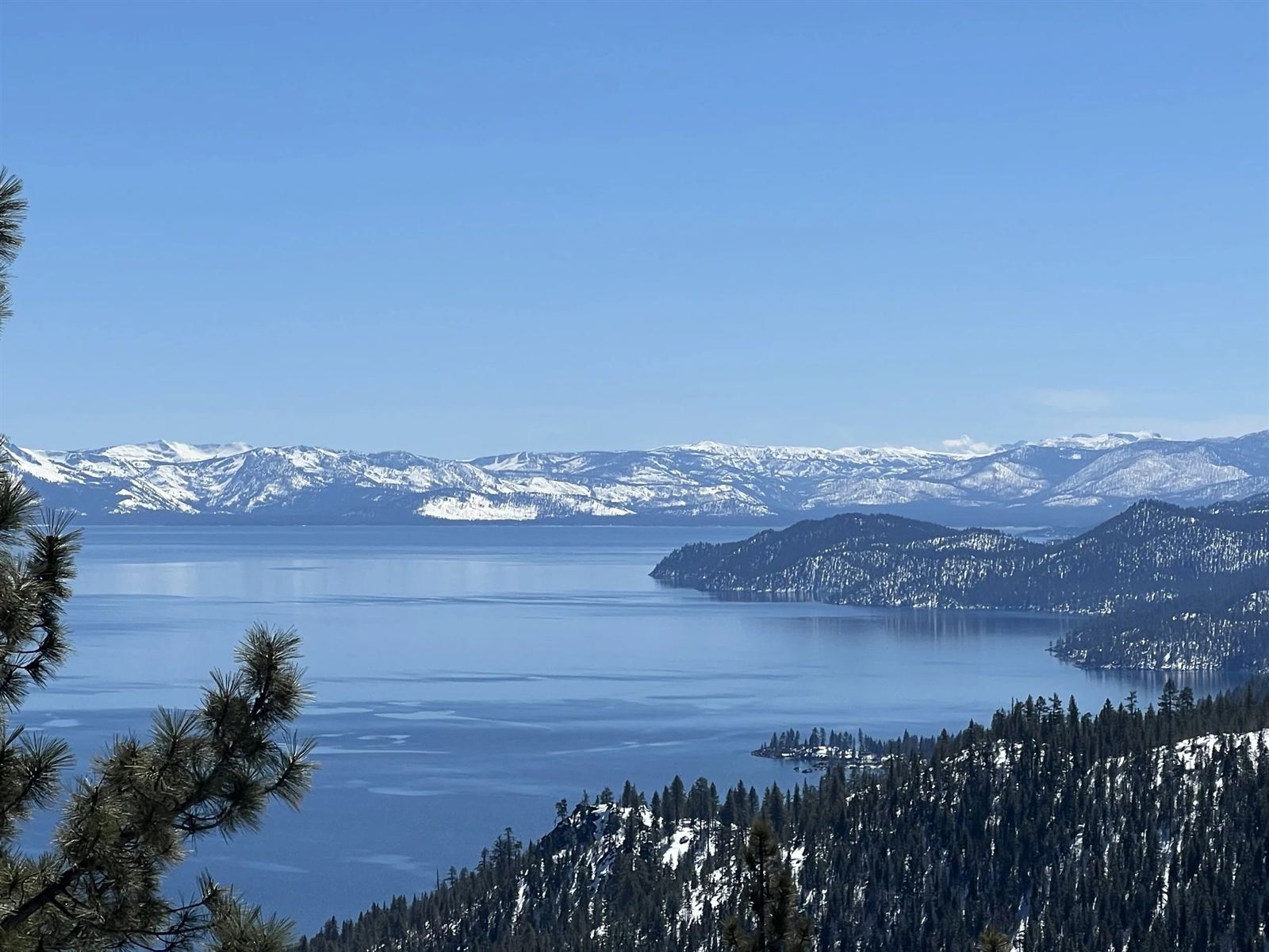
Roughly two million years ago, the block of earth between two parallel faults dropped as the Sierra Nevada and Carson Range rose around it. Snowmelt and rain filled the sunken basin, and later ice ages sent glaciers grinding down its western valleys — carving, among other things, the fjord-like curve of Emerald Bay.
That makes Tahoe one of the oldest lakes in the world. Most lakes live a few thousand years before silting in; Tahoe has been holding blue for geologic ages, cradled at 6,225 feet between two mountain ranges.

About 40 percent of the rain and snow falling on the Tahoe Basin lands directly on the lake itself; the rest filters through granite and marsh before it ever arrives. With little algae and very fine sediment, sunlight plunges deep — the water is often described as 99.9% pure, close to distilled.
Scientists at UC Davis have lowered a white Secchi disk into the lake since 1968 to measure exactly how far down it stays visible. That first year the disk vanished around 100 feet; clarity declined for decades as the basin developed, and has now stabilized — the 2025 annual average was 69.2 feet, one of the best readings in years.
The name "Tahoe" comes from the Washoe phrase Da ow a ga — "edge of the lake."
Long before any road crossed the passes, the Washoe spent summers at the lake's edge, fishing its waters and gathering in its meadows. Lake Tahoe remains the center of the Washoe world today.
Explorer John C. Frémont, mapping a winter route across the Sierra, spotted the lake from a peak above Carson Pass — the first Euro-American record of Tahoe.
The silver strike at Virginia City's Comstock Lode turned the basin into a timber yard: most of Tahoe's old-growth forest was cut and hauled over the ridge to shore up the mines. Nearly every tree you see today is second growth.
Congress considered making Lake Tahoe a national park three times — and passed. Instead the shoreline grew into a patchwork of state parks, national forest and private land.
Squaw Valley — today's Palisades Tahoe — hosted the VIII Olympic Winter Games, the first ever televised, and introduced the world to Tahoe skiing almost overnight.
California and Nevada formed the bi-state Tahoe Regional Planning Agency — one of the first agencies of its kind — to manage growth and protect the lake, joined by groups like the League to Save Lake Tahoe ("Keep Tahoe Blue").
Around 15 million visits a year make Tahoe one of America's favorite outdoor destinations — and keeping the water clear while sharing it widely remains the defining local project.
The surface covers 191 mi² (308 km²) — 22 miles long and 12 miles wide — and the deepest point is 1,645 feet (501 m), near Crystal Bay. Average depth is about 1,000 feet.
Sixty-three streams flow in, and only one flows out — the Truckee River at Tahoe City, controlled by a small dam. The water never reaches the ocean; it ends at Pyramid Lake in the Nevada desert.
Surface temperature ranges from around 40°F (4°C) in winter to the upper 60s °F (20°C) in late summer. Below 700 feet it holds a constant 39°F year-round.
The main body never freezes — the enormous volume of water stores too much heat, and constant mixing keeps ice from forming. Sheltered Emerald Bay has iced over on rare occasions.
Just one: Fannette Island in Emerald Bay, crowned by the stone ruins of a 1920s tea house. It's a favorite kayak destination — see our Emerald Bay guide.
Both. About two-thirds of the lake lies in California and one-third in Nevada — the state line runs right through the water, which is why casinos sit exactly at the border in Crystal Bay and Stateline.
Now that you know what you're looking at, come stand on the shoreline. We'll help you plan every day of it.
Plan Your Vacation